
Driving Skyline Drive
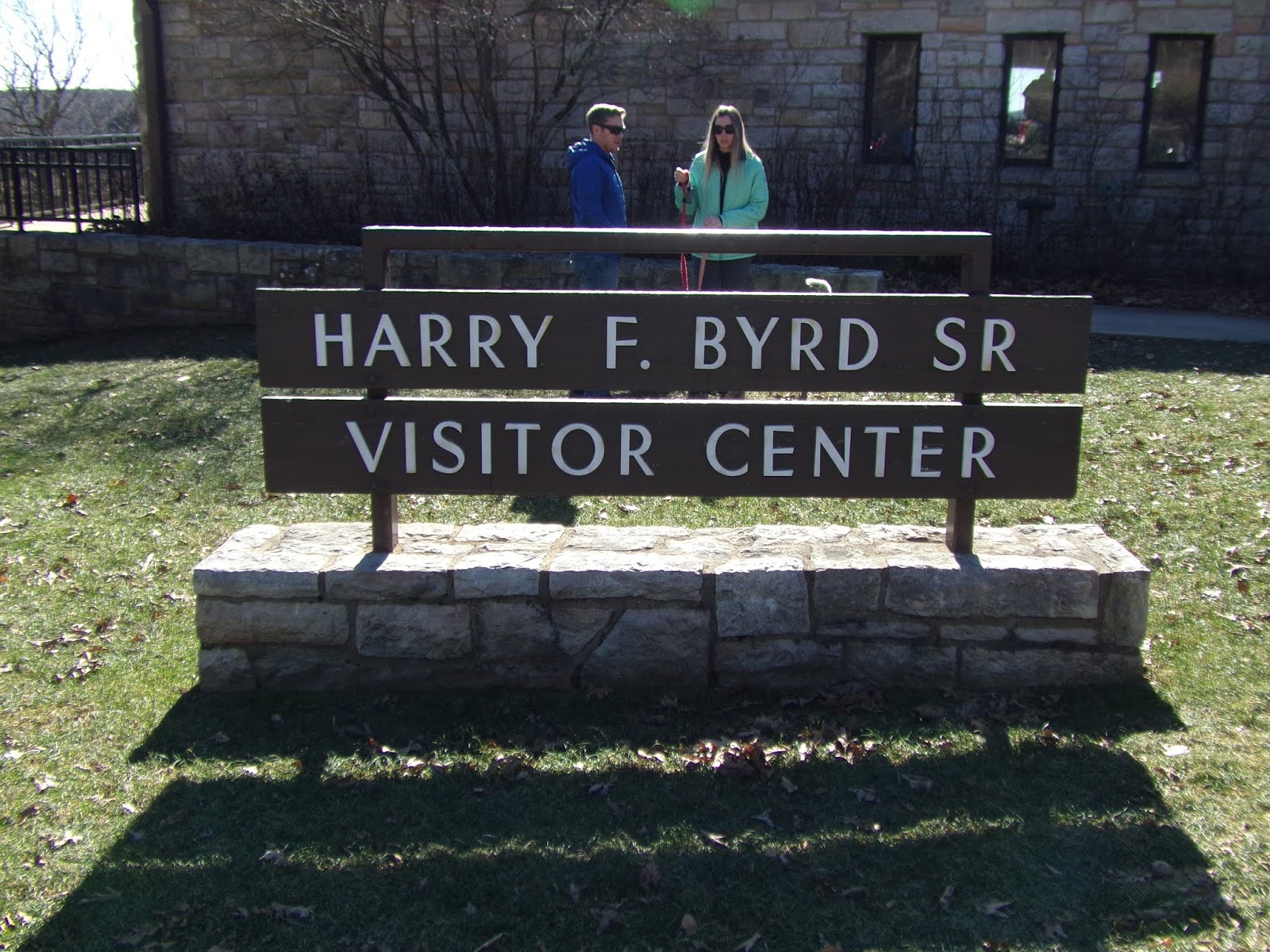
Shenandoah National Park, Luray, Virginia
Skyline Drive runs 105 miles north and south along the crest of the Blue Ridge Mountains in Shenandoah National Park and is the only public road through the park. It takes about three hours to travel the entire length of the park on a clear day.
As you travel along Skyline Drive you will notice mileposts on the west side of the road (right side if you are traveling south, left if you are heading north). These posts help you find your way through the park and help you locate areas of interest. The miles begin at 0 at Front Royal and continue to 105 at the southern end of the park. The largest developed area, Big Meadows, is near the center of the park, at mile 51. All park maps and information use these mileposts as a reference. View or download maps of Shenandoah National Park.
The speed limit is 35 mph, so you can roll down your windows, feel the breeze and experience every curve and turn of this beautiful drive. There are nearly 70 overlooks that offer stunning views of the Shenandoah Valley to the west or the rolling Piedmont to the east.
The speed limit is 35 mph, so you can roll down your windows, feel the breeze and experience every curve and turn of this beautiful drive. There are nearly 70 overlooks that offer stunning views of the Shenandoah Valley to the west or the rolling Piedmont to the east.
MORE

LURAY, Virginia - November 11, 2018 - Spectacular is the one word that only barley, adequately describes this parkway. The are seemingly pull-offs every mile with vistas that I can't describe. (that's why I take photos.) A many of the pull-offs and look-outs it feels like you're flying out over the Shenandoah Valley. Well worth the trip and the price of admission. When we got to the pinnacle, about 3800 ft., we stopped and did some hiking, which pleased Miss Penny greatly!


Comments
Post a Comment