
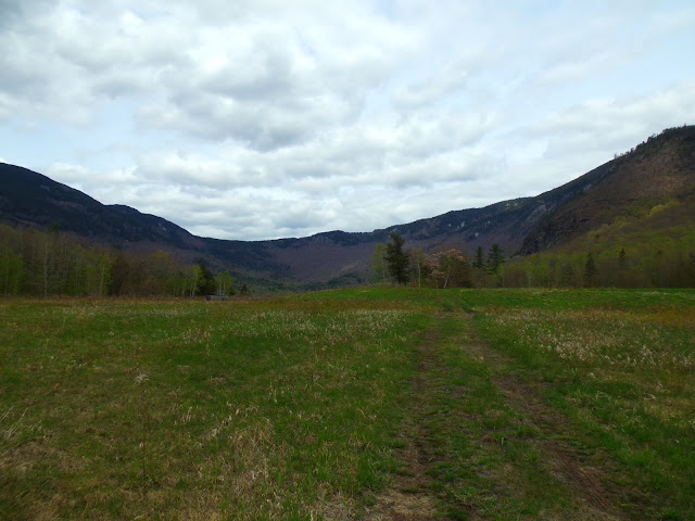
Evans Notch (elev. 1,410) is a mountain pass located in the White Mountains in Maine, United States, about 1 mile east of the New Hampshire border. It is the easternmost notch through the White Mountains (the next ones to the west being Carter Notch and Pinkham Notch). To the south, the notch is drained by the Cold River, which leads via the Charles River to the Saco River, which in turn flows into the Gulf of Maine east of Saco and Biddeford. The Mad River is a small mountain stream that joins the Cold River from the west about 2 miles (3 km) south of the height of land, after dropping over Mad River Falls. The notch is drained to the north by Evans Brook, a tributary of the Wild River, which flows north to the Androscoggin River. The Androscoggin leads east and south to the Kennebec River at Merrymeeting Bay north of Bath, Maine.
MORE


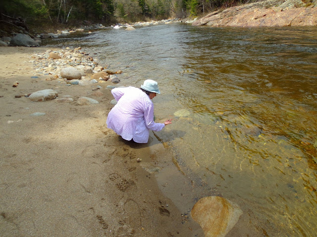
The Wild River is a 17.2-mile-long river in the White Mountains of New Hampshire and Maine in the United States. It is a tributary of the Androscoggin River, which flows east and south to the Kennebec River near the Atlantic Ocean.
The Wild River rises at No Ketchum Pond in the township of Bean's Purchase, New Hampshire, and flows northeast through a mountain valley separating the Carter-Moriah Range to the northwest and the Baldface-Royce Range to the southeast. Evans Brook flows northerly from the height of land in Evans Notch to join the Wild River near the former logging company town of Hastings. Maine Highway 113 follows Evans Brook and then the east bank of the Wild River from Hastings northward to the Wild River confluence with the Androscoggin River at Gilead. The Wild River is bridged by U.S. Route 2 and the St. Lawrence & Atlantic Railroad at Gilead.
MORE


Comments
Post a Comment